The fastest way to get aerial images & data -

anywhere in the USA

Stop stressing and leverage our professional drone pilot network for your projects
Aerial Data Collection Made Simple.
Get professional drone services fast, with one point of contact - anywhere in the USA

Rapid Response

Weekly Construction Site Updates

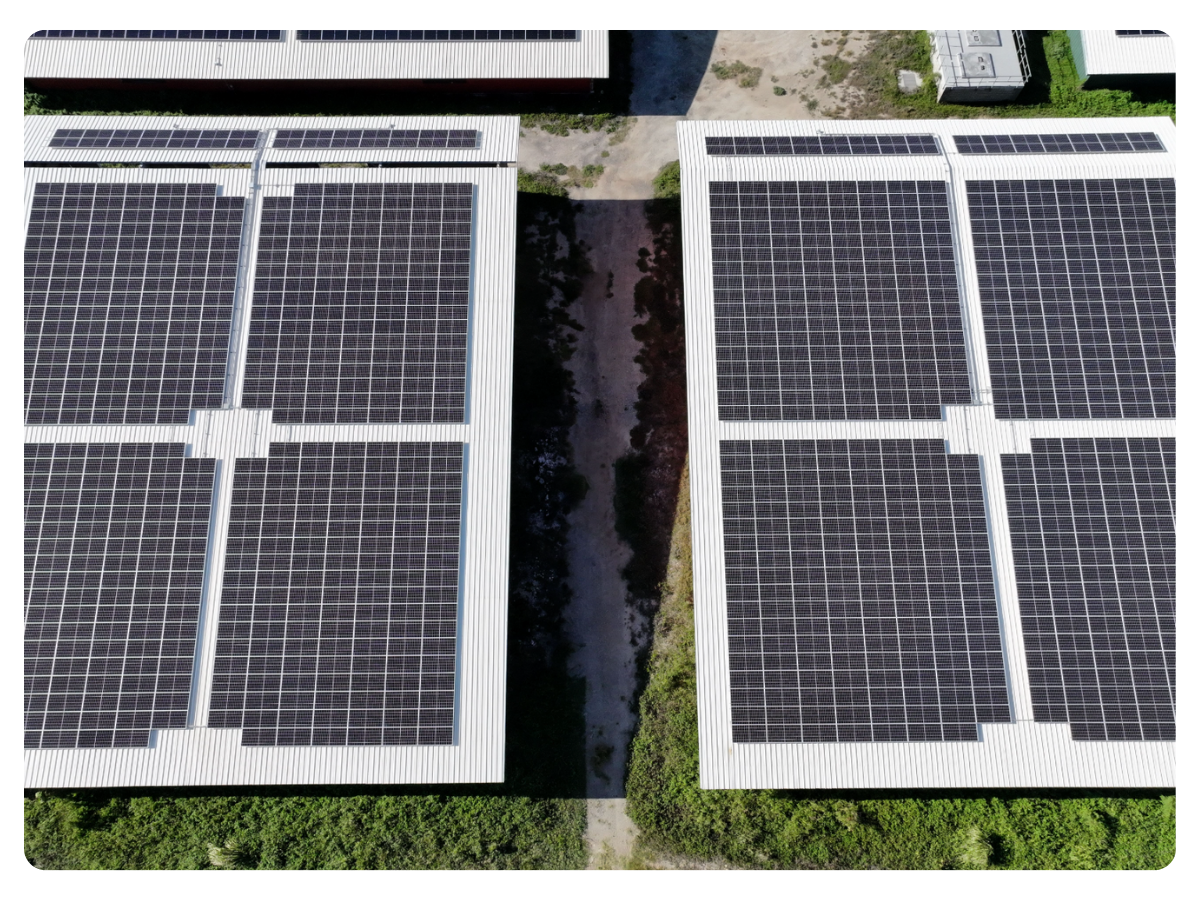
Drones provide project managers with simple and safe documentation abilities for construction sites.

High-resolution imagery and data captured by drones allow project managers to easily monitor project progress and identify potential issues.

This information can be quickly and easily shared with team members and stakeholders, improving communication and collaboration on construction projects.

Free Consultation >

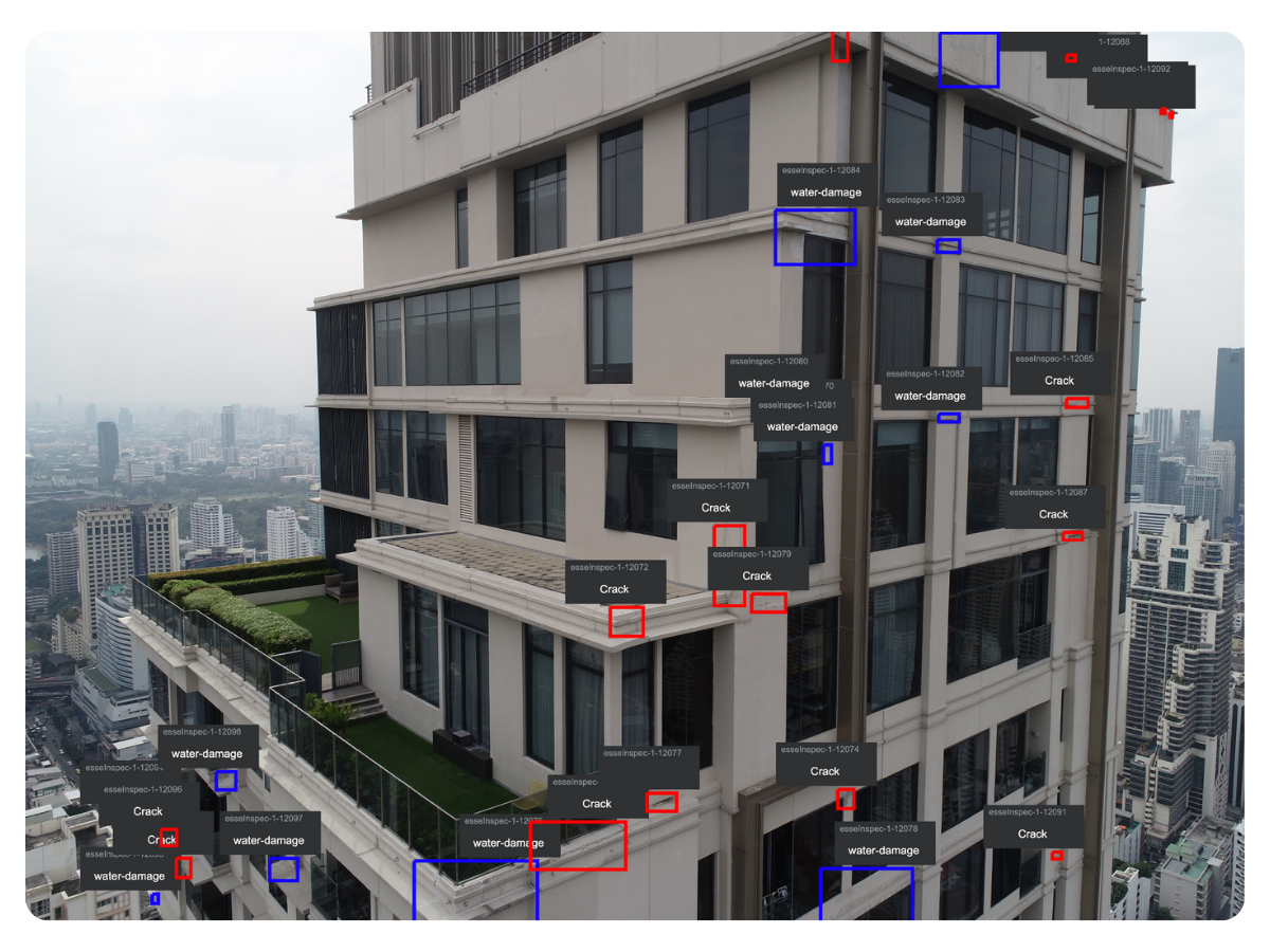
Inspections from the Safety of the Office

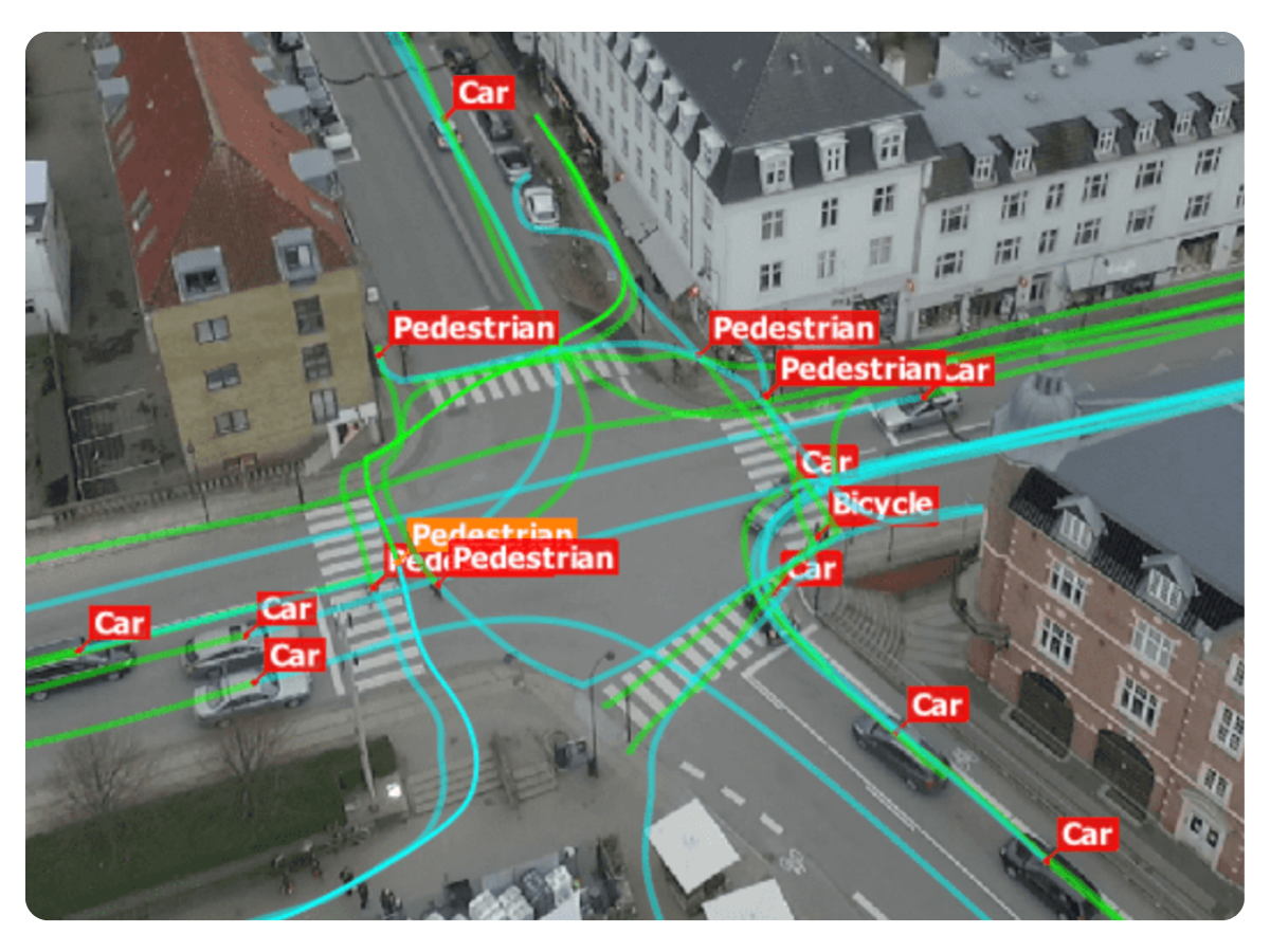
Drones capture high-resolution data and imagery of construction sites, allowing engineers to conduct thorough inspections from the safety of their office.

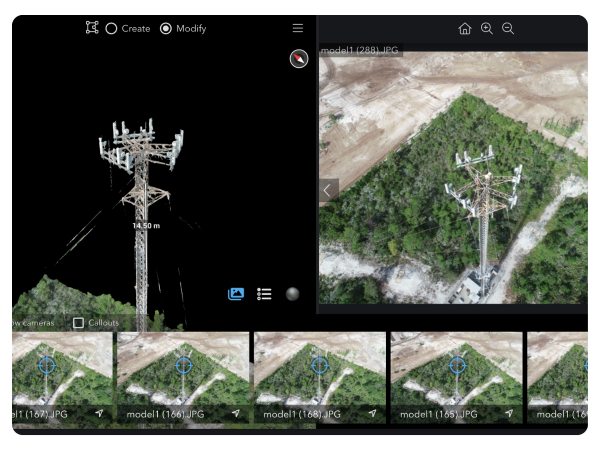
This data is then used to create accurate 3D models of the project, allowing engineers to easily identify potential issues and plan for necessary repairs.

Using drones for inspections not only improves the safety of site workers, but also provides more efficient and cost-effective solutions for construction projects.

Free Consultation >
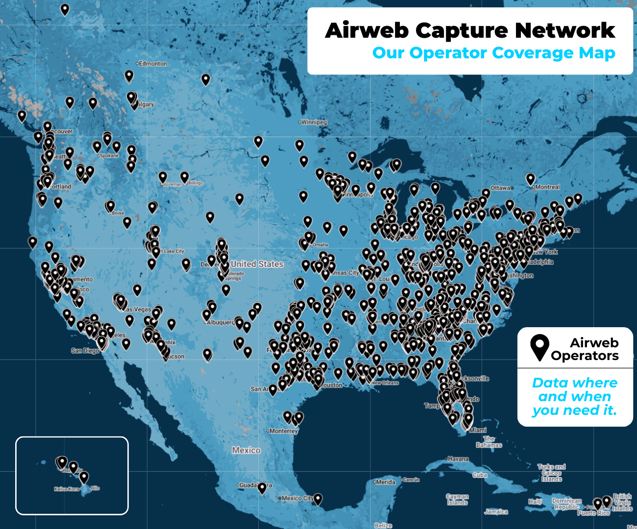
This is our drone pilot coverage map as of January 2023

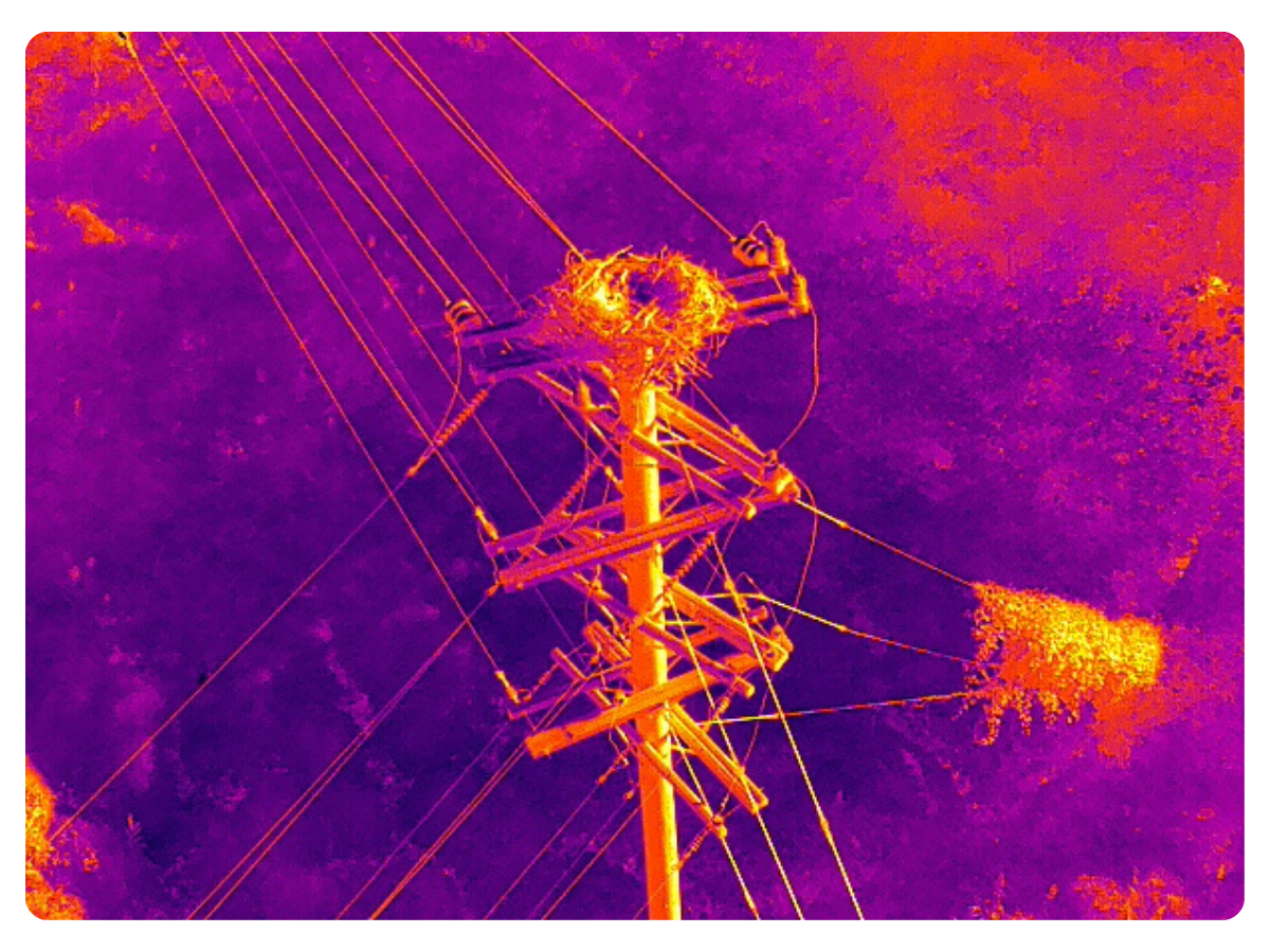
All of the color icons represent a Part 107 certified drone pilot that's skilled in aerial photography, videography, infrastructure inspections, 2D mapping, 3D modeling, thermal inspections and much more..

To request a free quote for drone services please visit here >

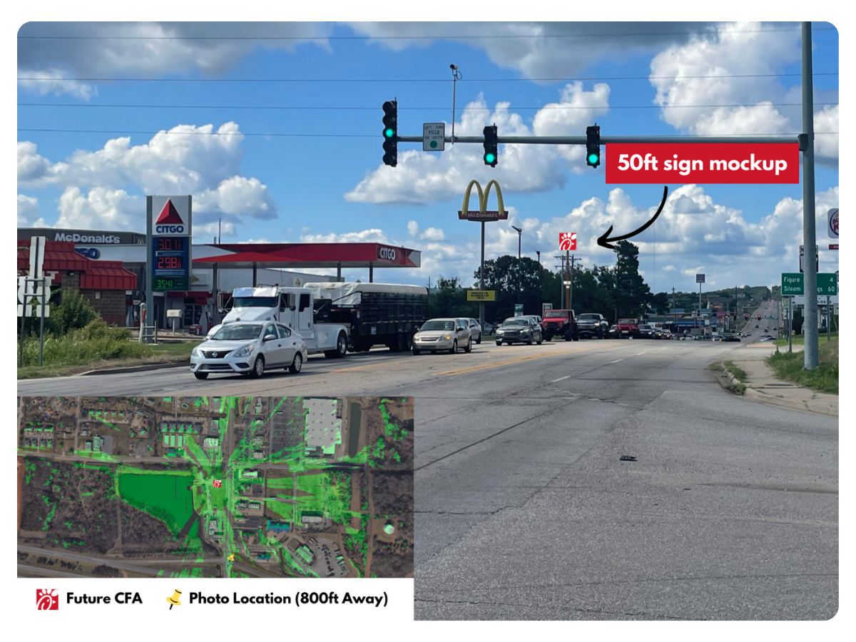
Franchise Marketing Just Got Simple

Don't stress on scheduling multiple photographers to showcase listings like franchises. In days, you can have aerial videos and photos ready for social media advertising or offering memorandums.

No more spending time on reviewing or editing content, now you can focus on scaling to more deals across the USA.

Free Consultation >