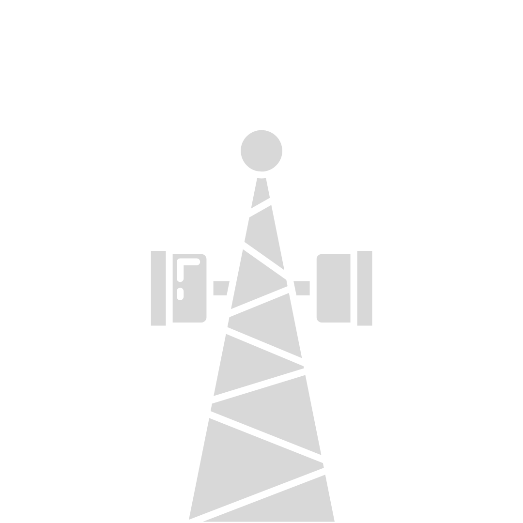
How drones are being used for cell tower inspections

We’ve seen drones being used to improve safety and automate processes for all kinds of industries to mitigate risk and improve efficiencies. Today, we’re going to talk about our favorite application - the cell tower inspection vertical.
First, let’s start with what a cell tower inspection is and why it is important.
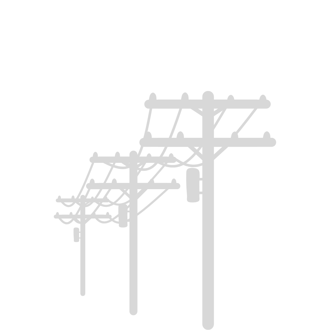
Traditionally, site inspections involved a tower climber ascending up the tower capturing photos of various components such as cables, arrays, modules, nuts & bolts, as well as, lower compound meters, gate plaques and fiber optic covers on the ground.
First, let’s start with what a cell tower inspection is and why it is important.
Traditionally, site inspections involved a tower climber ascending up the tower capturing photos of various components such as cables, arrays, modules, nuts & bolts, as well as, lower compound meters, gate plaques and fiber optic covers on the ground.

Traditional method of a tower climber performing a visual inspection for the pre/post construction phase.
Components on the tower could also be captured from the ground with a photographer and zoom lenses.
This process can be time consuming with involvement of climbing the tower but ultimately exposes humans to a risk that can be mitigated. (so that climbing is kept for situations when needed).
Today, we’ve seen drones being used as a favored technology to improve cell tower outputs by providing scalable operations.

Drone flight path of orbits at various heights to conduct cell tower site audit
The benefit of drone inspections is that you can take hundreds even thousands of photos from different perspectives and with this data, decisions can be made with confidence.
This data can be processed using photogrammetry techniques to create 3D models. The 3D models are then used to accurately estimate materials, procedures, and installment of equipment, such as 5G arrays, all within a remote workplace workflow.
An overview of this process includes a drone pilot arriving at the tower and checking in. Once approved for work, a walkthrough is conducted, GCP’s (ground control points) are placed, and the drone takes off.
A 50/50 autonomous-manual flight plan, with orbits or ladder paths, will result in each site having 900+ photos.
This data gets uploaded by the drone pilot, preferably through a FTP application, to be reviewed and approved for post-processing.

3D models created in the editing process of 900+ photos to allow remote site inspections for project safety, maintenance, and management.
From a pre-construction perspective this data is used to plan the installment of equipment such as 5G arrays. From a post-construction perspective this data is used to check-off said work, using remote workplace practices to provide scalable inspection operations across the nation.
These are solutions for challenges when using drones for cell tower inspections coming from our perspective as drone pilots.
Those challenges include:
1) Safety - to conduct this type of work, drone pilots must carry a high level of risk mitigation and situational awareness. Cell towers are placed in all kinds of areas from active cow pastures to the top of roofs in the city. A systemized checklist is a key to success for creating a workflow that lasts for fleets to come.
2) Decision Making - RPIC’s must be able to make decisive calls when facing obstacles such as weather, radio interference from microwave dishes on the tower, or lighting conditions. Having a drone grounded from the right call is better than having bad data that can’t be processed, or even worse, crashing your drone.
3) Travel - to become a traveling drone pilot it’s vital to treat your car with the same respect you would with your drone equipment. Take in account travel days between states when calculating expectations and always have an updated list of items to keep in your car such as first aid kits, safety vest, hard hats, GCP’s, battery maintenance, and plenty of water!
4) Battery Maintenance - charging in the field during an inspection can be done through a car inverter or gas generator. Most car inverters require the car to be running while the gas generator can be turned on, outside of your car, while you’re flying. If flying drones on the west coast, be cautious of using a gas generator for on-site charging because of the risk of starting a fire in dry areas.
All in all, drones are changing the way we work and this is just the beginning as sensors such as LiDAR and Thermal continue to make strides of improvement. Those topics are for a later conversation but in this post we’ve shared our takes on using drones for cell tower inspections. From the benefits to the challenges we hope you’ve seen the bigger opportunity this technology presents and the workflows that can be achieved.
In our next posts we will share the equipment needed to conduct cell tower inspections and the daily routine of a drone pilot doing this kind of work!
If you’ve found this information beneficial and would like to speak with us about your project email info@airwebdigital.com or text/call 678-769-5275