Mobility Risk & Flow Study

Mobility Intelligence, Anywhere

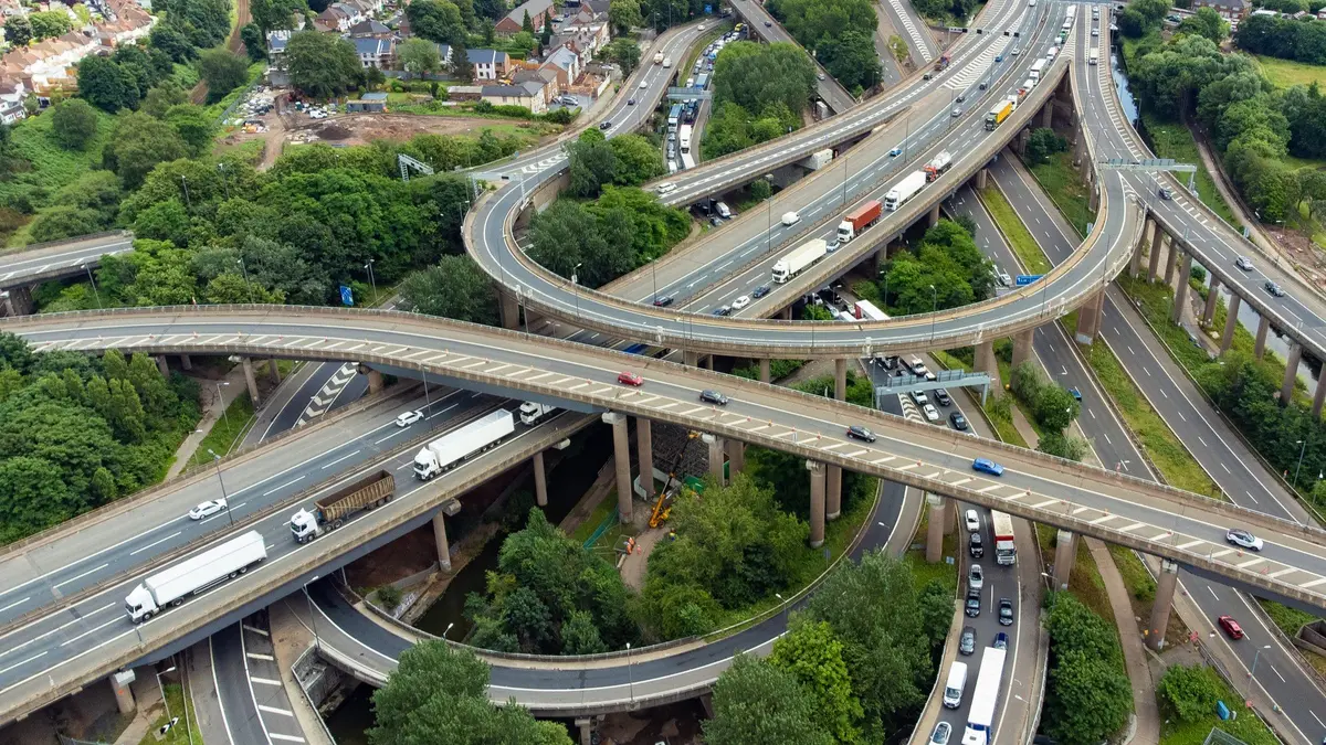
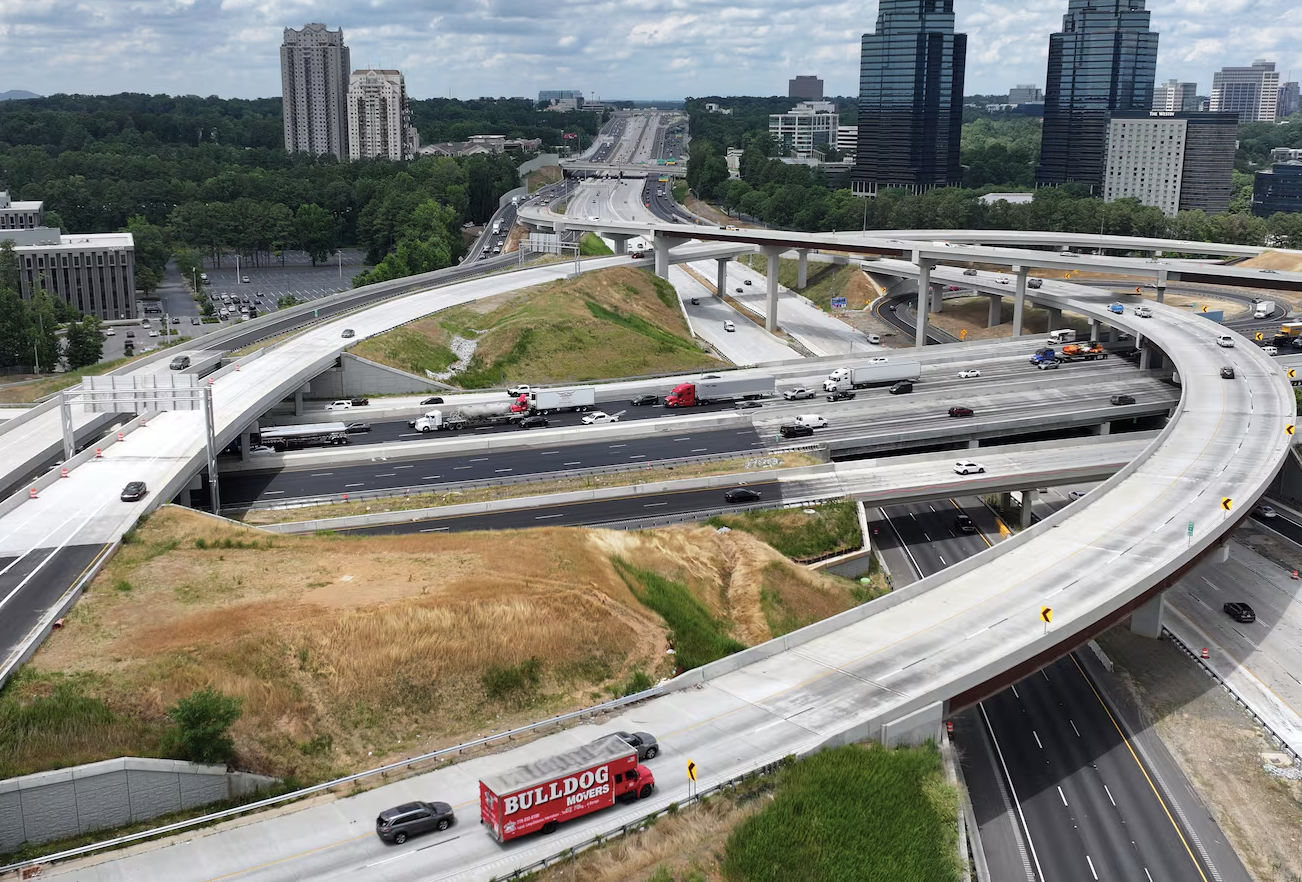
With drones and AI, we capture what pole cameras and manual studies miss — vehicle volumes, turning paths, and hidden safety risks — delivered in GIS-ready reports.

Order a mobility studyorder raw data only

What You Get

Counts & Speeds

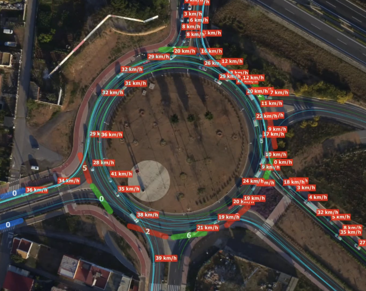
Track vehicle, truck, bike, and pedestrian flow with speed profiles.

Object Classification

Identify and categorize movements, including near-miss events.

Trajectory Analysis

Map turning paths, travel lanes, and movement trajectories.

Queue & Delay Metrics

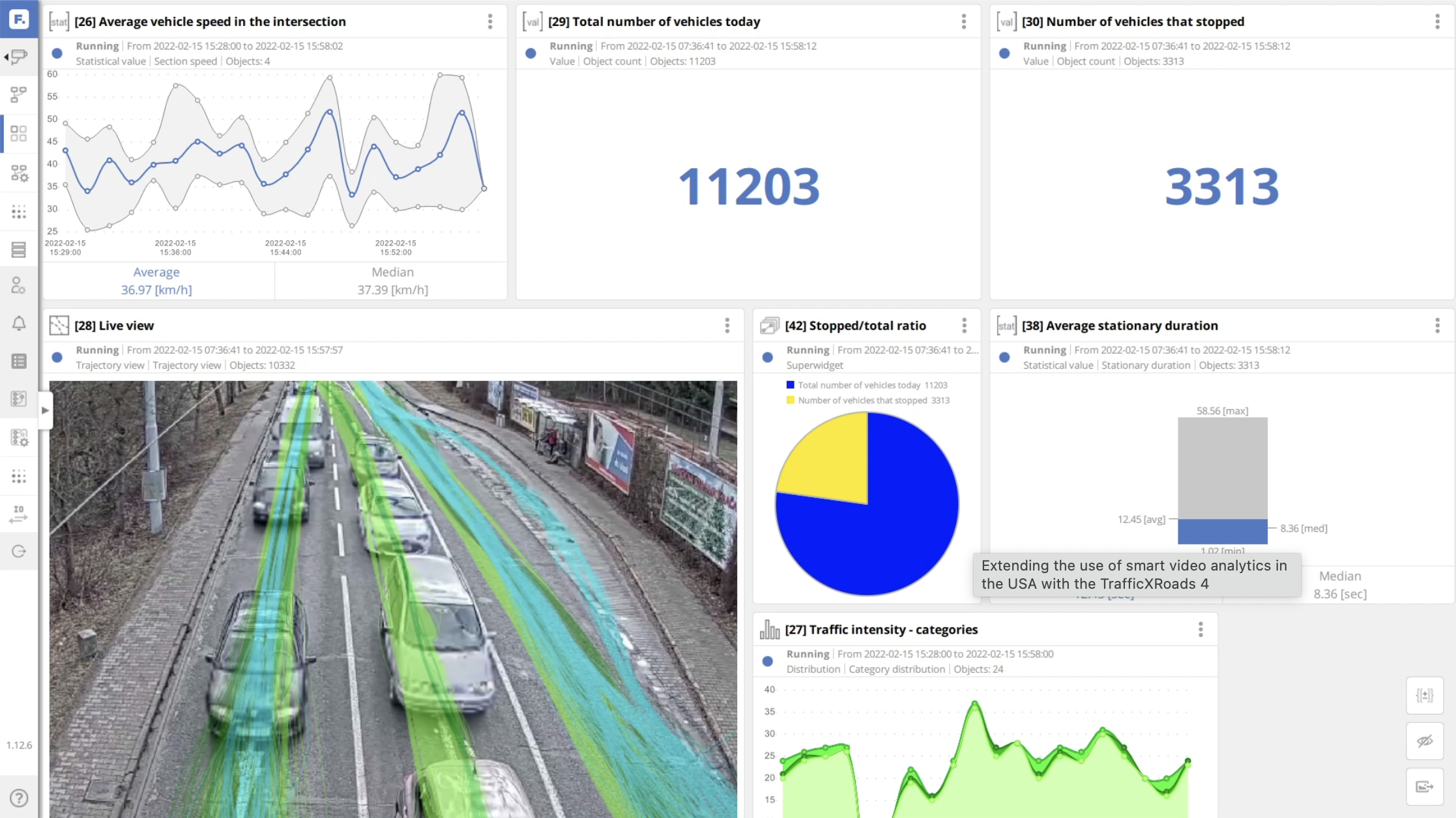
Measure intersection wait times and overall delay patterns.

Volume Charts

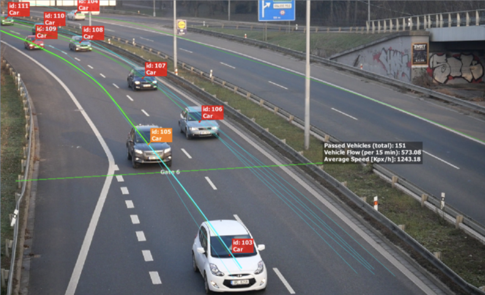
Visualize traffic volumes by class and time of day.

Presentation-Ready Reports

Exportable charts and graphics built for stakeholder review.

Mobility Studies for Scale

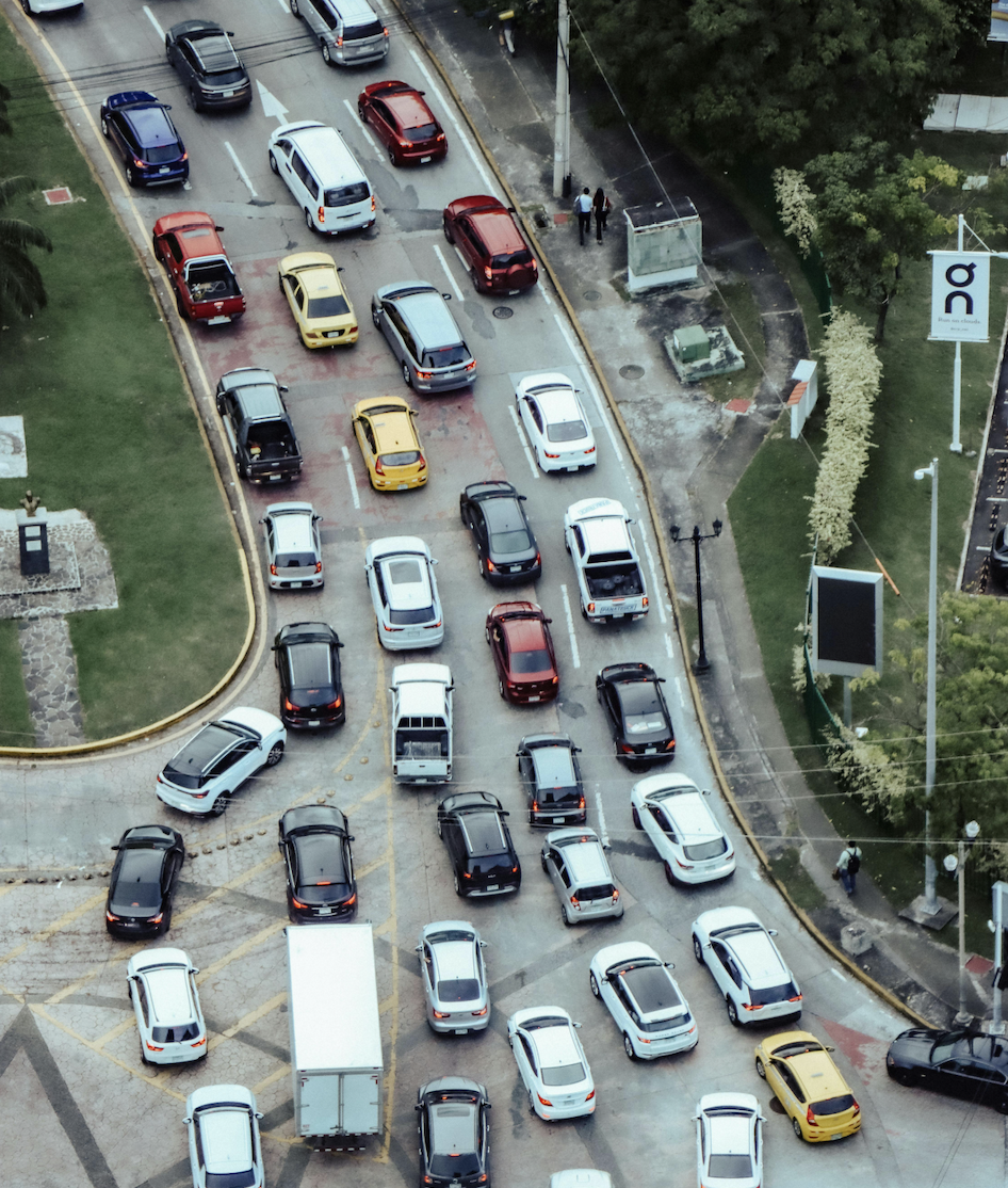
Manual counts miss context. Site visits burn hours. Decisions get delayed.

We fix that with standardized drone mobility studies.

Order a Mobility Study
  • Hidden Risks → Near-misses and unsafe movements go unseen in manual counts.

  • Wasted Time → Site visits and manual logs delay projects.

  • Burned Budgets → Inconsistent methods across sites waste dollars.

The Gaps That Cost Millions

Safety Blind Spots
Near-miss and conflict zones remain undocumented, exposing agencies to liability and risk.
Work Zone Liability
Construction sites escalate only after incidents occur—like dump trucks striking pedestrians—when it’s too late.
Signal Inefficiencies
Without verified turn and delay data, timing plans drain budgets while congestion persists.
Coverage Gaps
Locations without cameras or sensors stay invisible, forcing reactive—not preventive—management.
Development Delays
Project approvals stall when traffic impacts rely on outdated or anecdotal counts.
Portfolio Inconsistency
Varying methods across corridors prevent standardized benchmarking and capital planning.

Mobility Study Package Examples

Have a specific turnaround time or study length? Contact us for a free custom quote >

We capture the data & deliver the report

Single Intersection Study
Counts, speeds, and turning movements documented in 1–2 days.
Corridor Analysis
Multi-intersection corridors analyzed with flow, delays, and near-miss events.
Regional Program
Dozens of sites standardized for safety, congestion, and mobility insights.
Portfolio Benchmark
Hundreds of assets benchmarked, with apples-to-apples comparability across networks.
PLAN YOUR MOBILITY STUDY

Order a Site Study Today.

Actionable data on safety, flow, demand, and surface conditions — delivered faster than traditional methods.

Thank you! Your submission has been received! We will contact you shortly.
Oops! Something went wrong while submitting the form.

Who We Serve

Cities & DOTs

Safer roads, smarter spending, decisions in days.

Private Retail and Real Estate

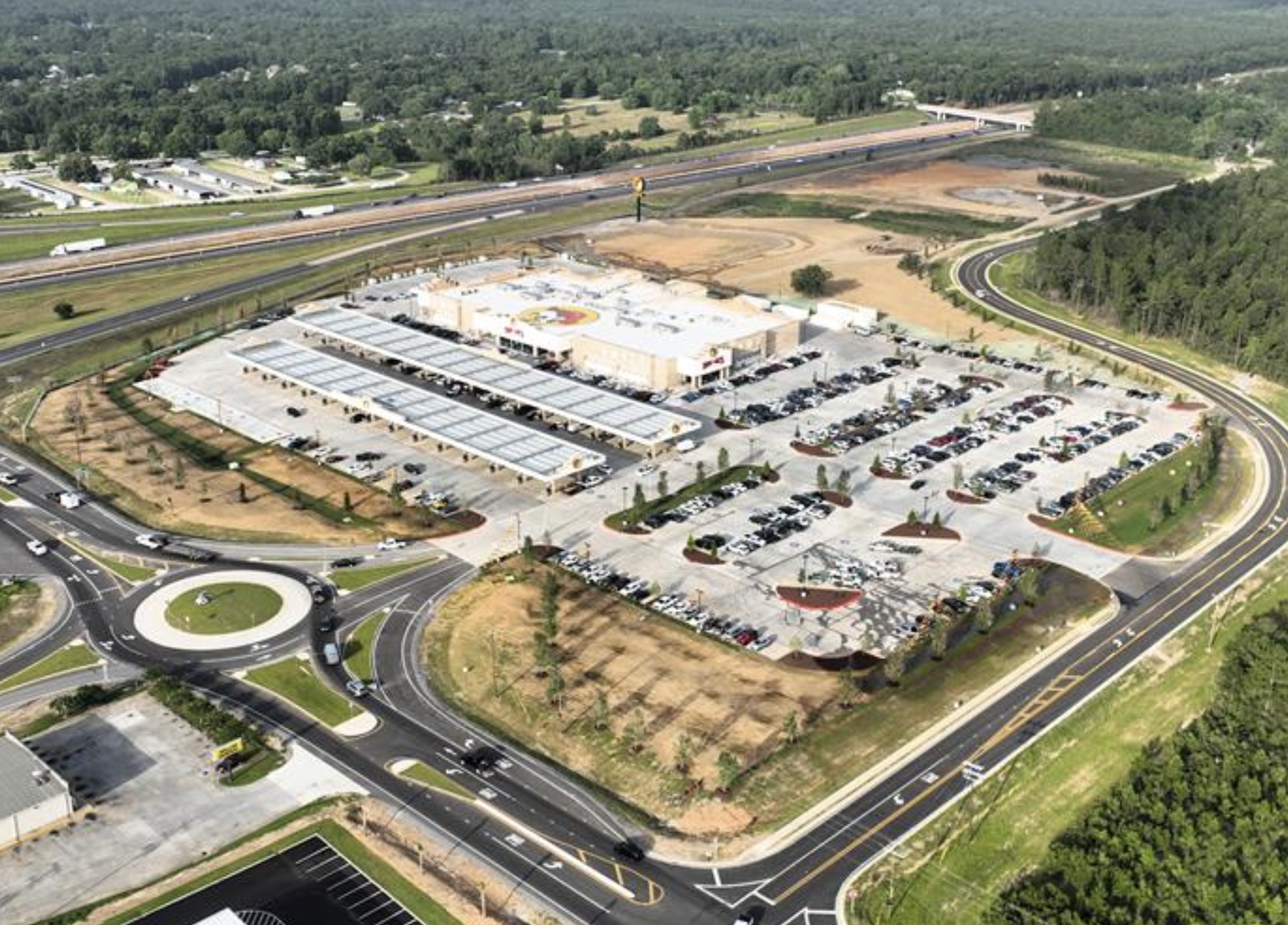
Optimize access, parking, and customer flow.

Airports

Cut congestion, optimize parking, extend pavement life.

Schools & Campuses

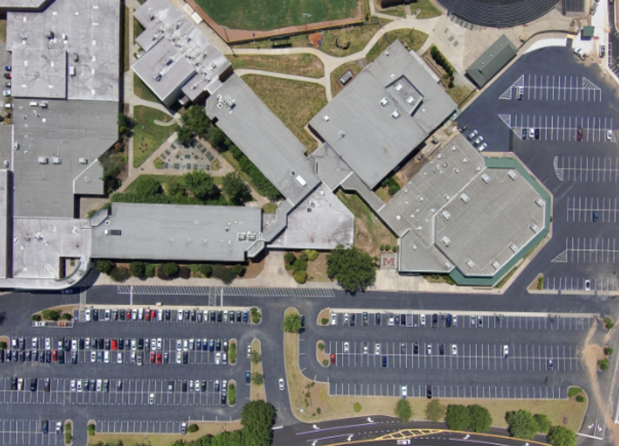
Improve drop-offs, crossings, and student safety.

Engineers & Consultants

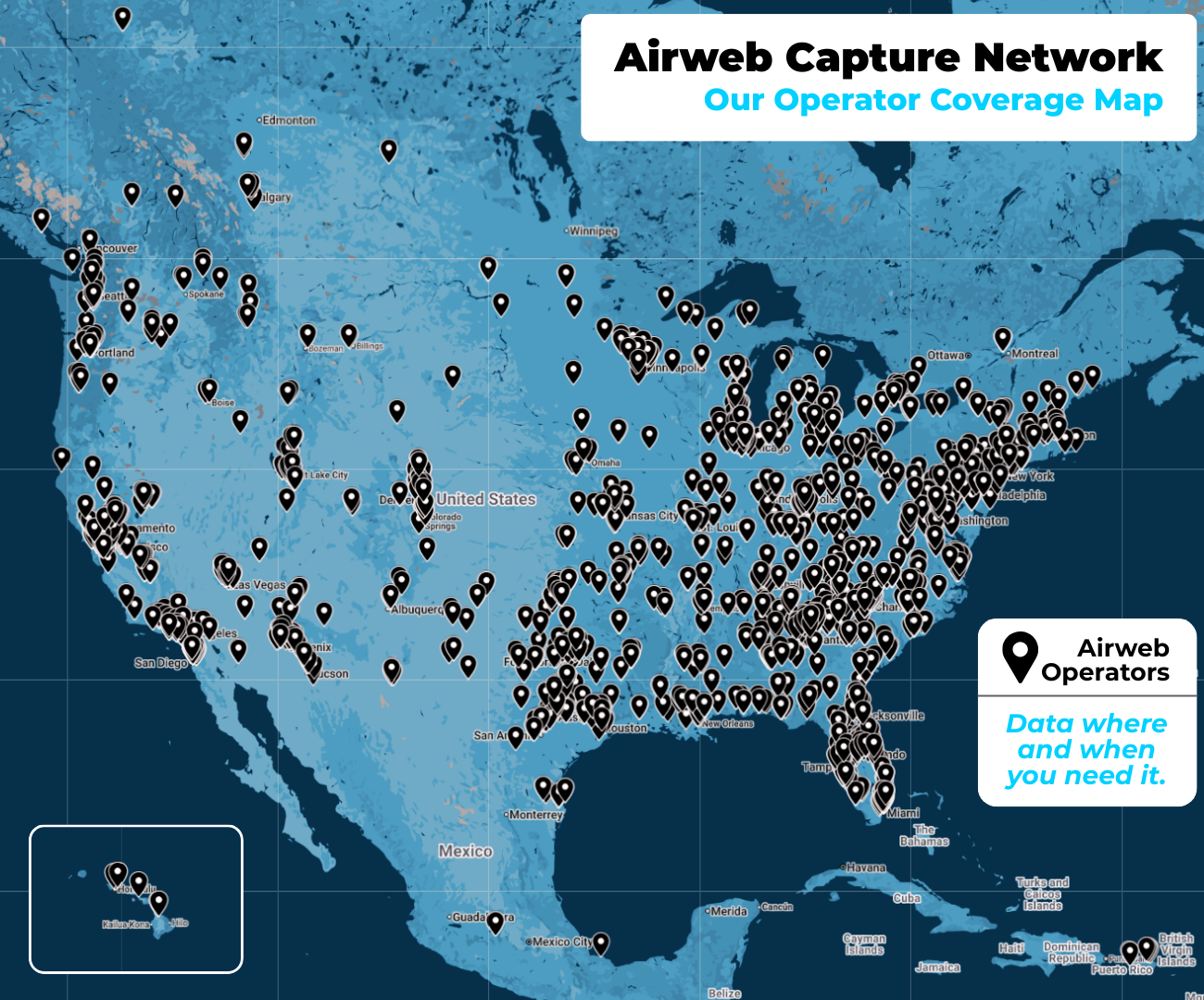
Standardized, ready-to-use data for transportation and infrastructure projects.

Utilities & Asset Owners

Monitor and protect assets with data-driven insights.

Relied on by engineers, planners, and operators

MobilityParkingPavement